Sounding Science
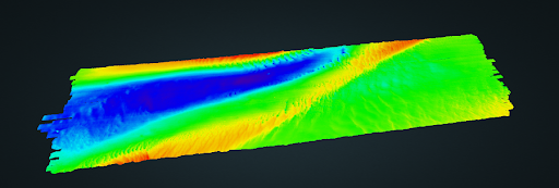
Bathymetry Data Processing and GIS
Key Benefits
Our Customers
We work to find the best possible solution for our clients, first identifying the need then designing a solution that fits their budget and goals. We understand that projects can evolve over time, so we make certain the project tasks stay aligned with customer needs.
Data Processing
Our expertise with data collection and data processing guarantees an efficient workflow, minimizing time and effort to complete a project. We understand the many ways problems can arise and we consistently review all sources that contribute to the end result.
Deliverables
Knowing the project specifications is not enough. Documenting every step in the processing chain is how we maintain the highest level of certainty in the end products. We guarantee reproducible results, along with documentation that will stand up to scientific review.
About Sounding Science
Dan Wright has over 20 years experience in the hydrographic field, including a leading role in hydrographic survey operations aboard the NOAA S/V Thomas Jefferson as well as hydrographic and positioning support for a multinational geo-technical organization. Dan brings IHO Cat A credentials to his hydrographic survey and processing work, providing the highest category of expertise to every project. For a more detailed bio visit his Linkedin page at Daniel Wright - LinkedIn
Expert Processing and Analysis
Hydrographic processing software has gone through many evolutions over the years, but the fundamentals remain the same. Know your sources and honor the data. Geopoint, our in house processing software, gives us the ability to create processing applications tailored to customer needs. This gives us the advantage of a very cost effective solution to large multibeam processing tasks. Regardless of which software package you choose, reliable results lie in careful analysis of the entire process, from collection to deliverables. To that end, we carefully examine all sources that contribute to the end result, resolving data quality issues as they arise. For more info on the Geopoint data processing system visit our project page at http://geopointsolutions.us/
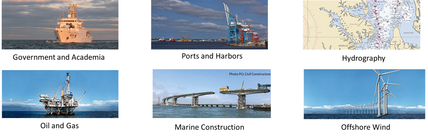
Supported Industries
Sounding Science is available to support marine mapping activities across disciplines. Each customer has unique requirements, and we strive to learn as much as possible about their industry or field of engagement. It’s important to understand and react to customer challenges quickly and responsibly, and getting there means knowing where problems are and how to help solve them.
Post-Processing Services
We work with datasets in just about any format, and deliver products from basic sounding plots to advanced multi layer Digital Elevation Models. Interactive deliverables are also available via web based server for instant access to finished results.
Some of the value added services we can provide:
Data cleaning - Surface Generation - Contouring -
Sounding Selection - Statistical Analysis and Reporting